There are several types of hydraulic structures that exist in our territory, depending on their location. I’m taking you on a trip to find some of them.
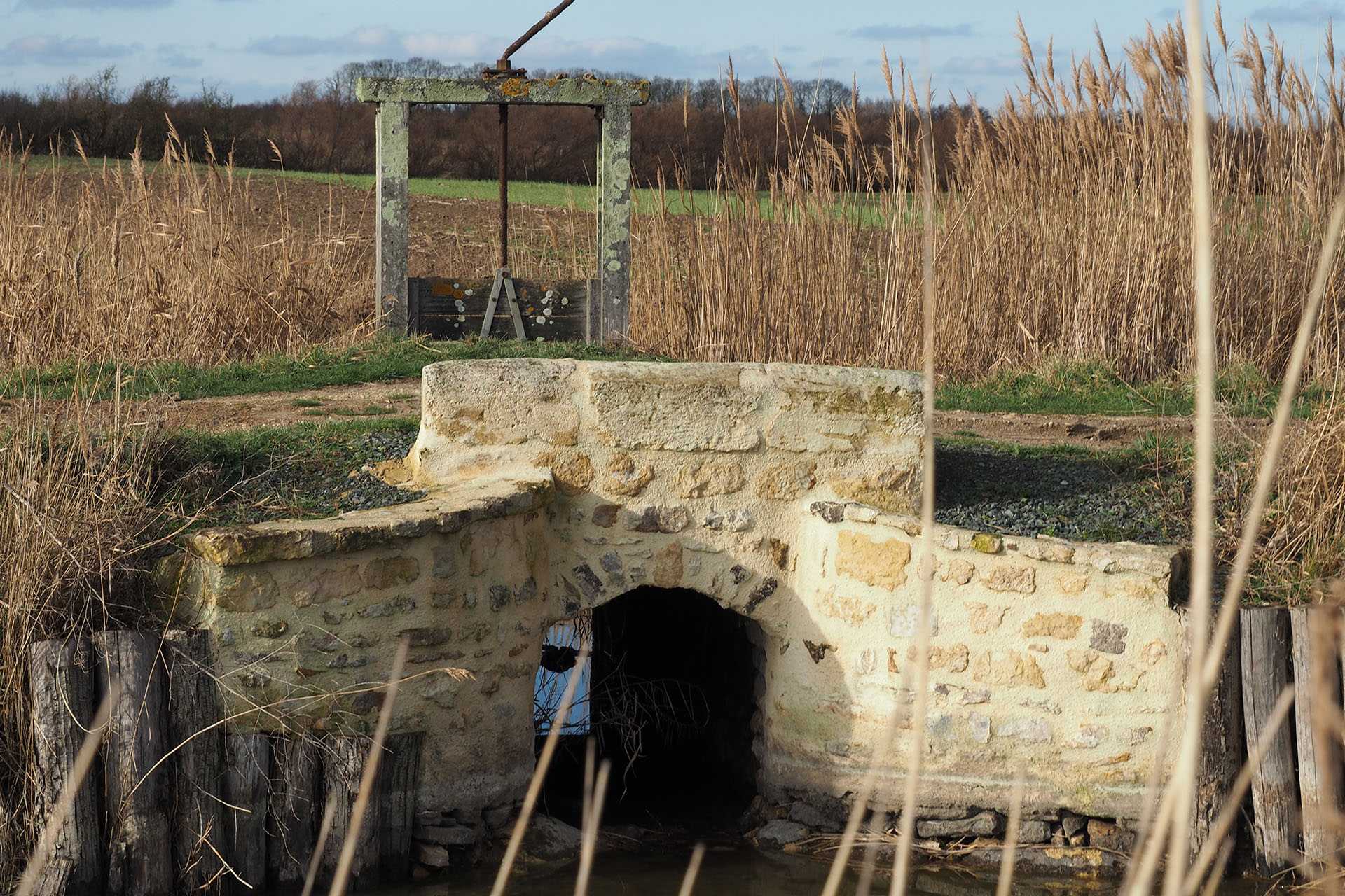
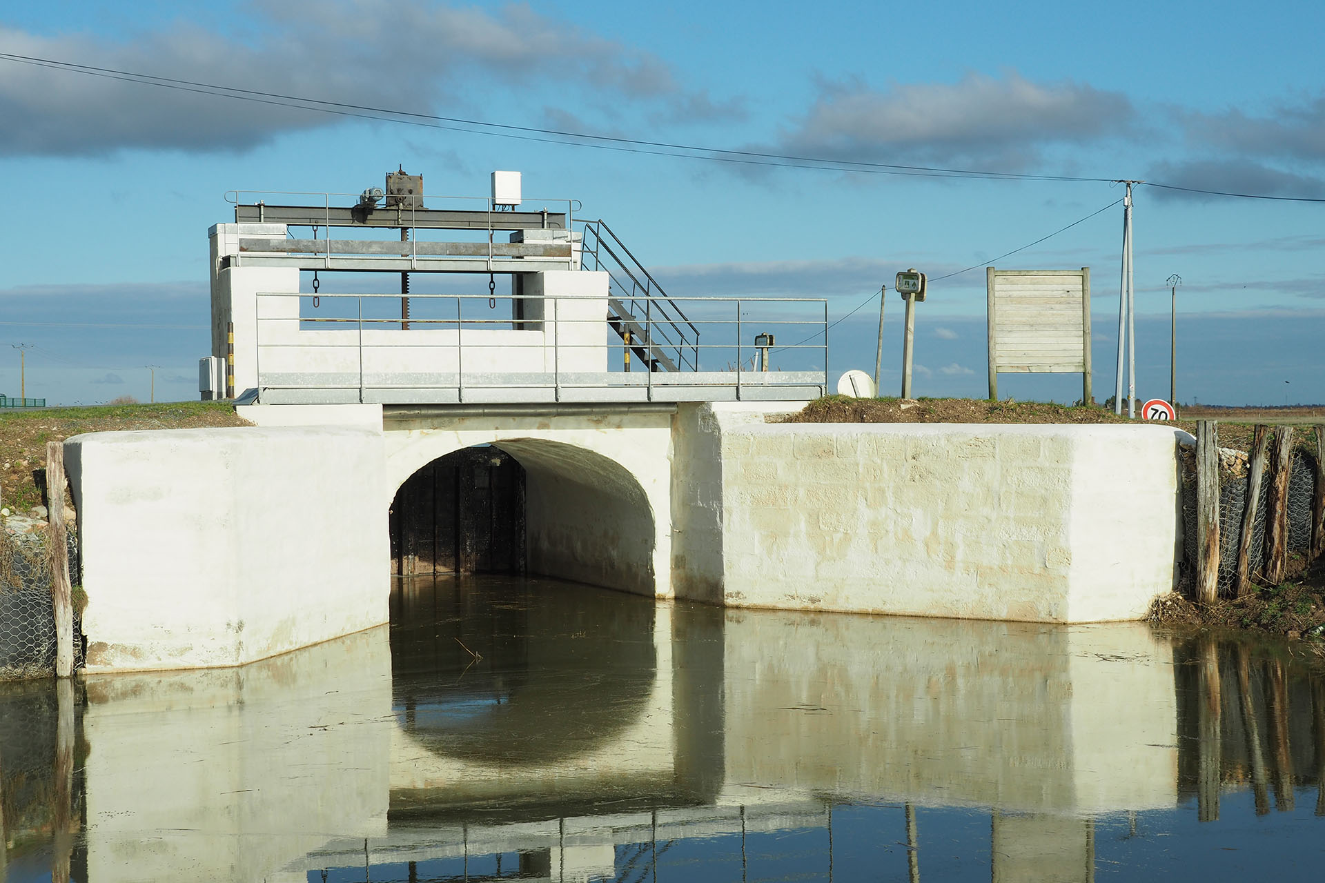
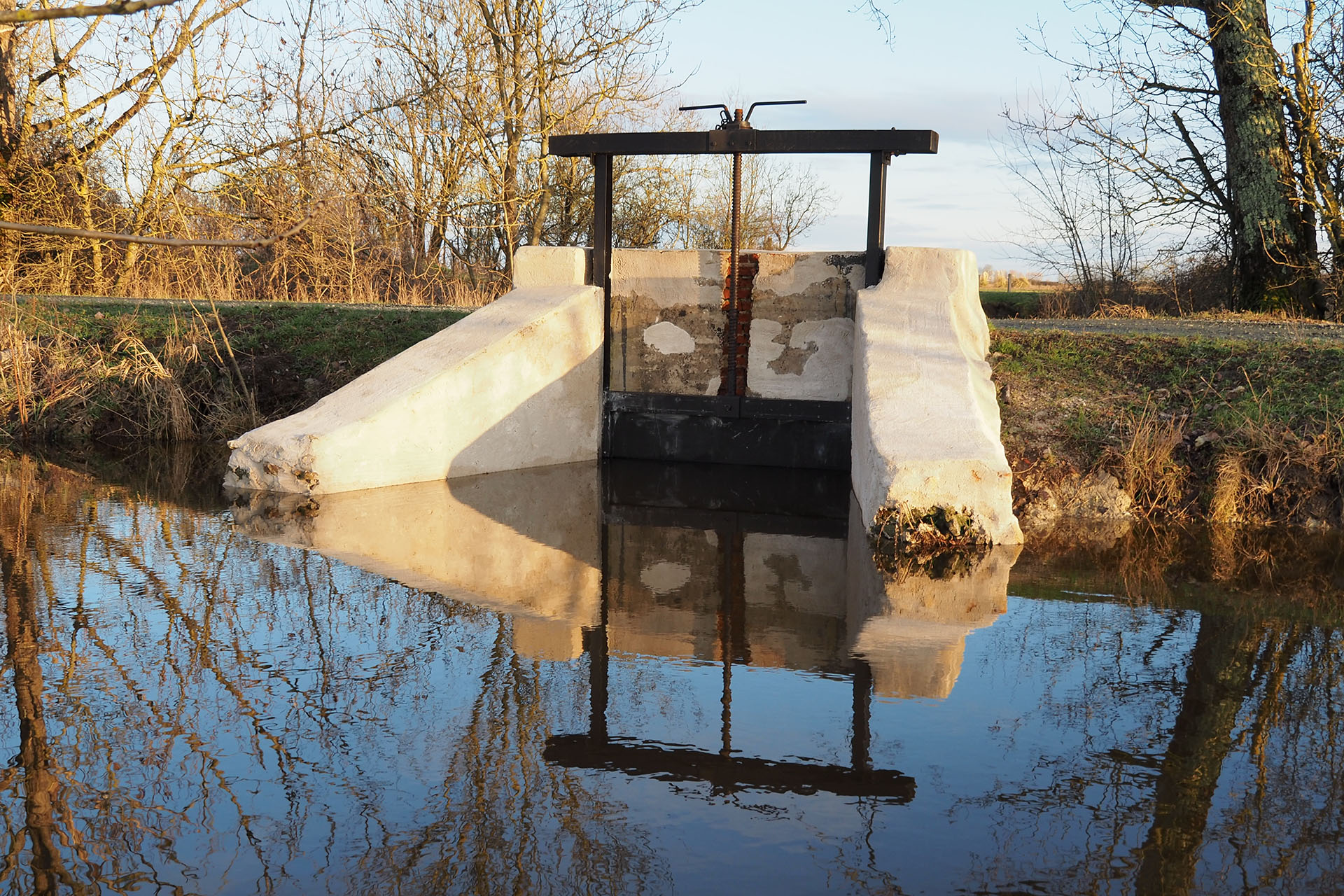
THE MARAIS POITEVIN DOORS
Part of the municipalities that make up the South Vendée Littoral are part of the Marais Poitevin’s Regional Natural Park. The villages were established on the former islands of the Gulf of Pictons. With the work of dewatering the marshes, many hydraulic doors were installed, in order to evacuate the water to the sea. Today they are an integral part of the Destination’s history.
MY FAVORITE hydraulic heritage
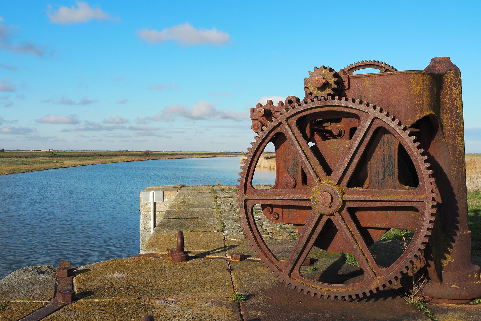
I like to walk in the marshes and discover the hydraulic doors, the “portereaux”, the canals… If I had to mention a few of them, my favorites would go to :
- “La porte des Portes”, “porte à bascule” on the Chenal Vieux in Saint-Michel-en-l’Herm,
- In Triaize “la porte du Bourdeau”, “porte à flot” recently renovated, ,
- “Les portes du Chapitre” and the “porte des Amarres” with its overflow container in Champagné-les-Marais or the “Pointe aux Herbes” in the same commune, witness of the glorious past of the canal of Luçon,
- The “port of the Thorn” in Puyravault,
- “Les portes des Grands Greniers”, on the Canal du Clain in Sainte-Radégonde-des-Noyers,
- The “Gouffre de l’Île d’Elle”, the technical achievement of the engineers…
To cut a long story short, you have understood, it is difficult to admire one hydraulic structure more than another. The doors have all their particularities, their specificities and the landscape in which they are implanted sublime them each season.
INVENTORY OF THE BEST SPOTS
What could be more beautiful than a sunset in the South Vendée Littoral near one of these buildings? You can see them at the side of the road whilst walking. Do not hesitate to go on an adventure and get off the beaten track, sea doors, rocking, floating, bungs, portereau, all await you…
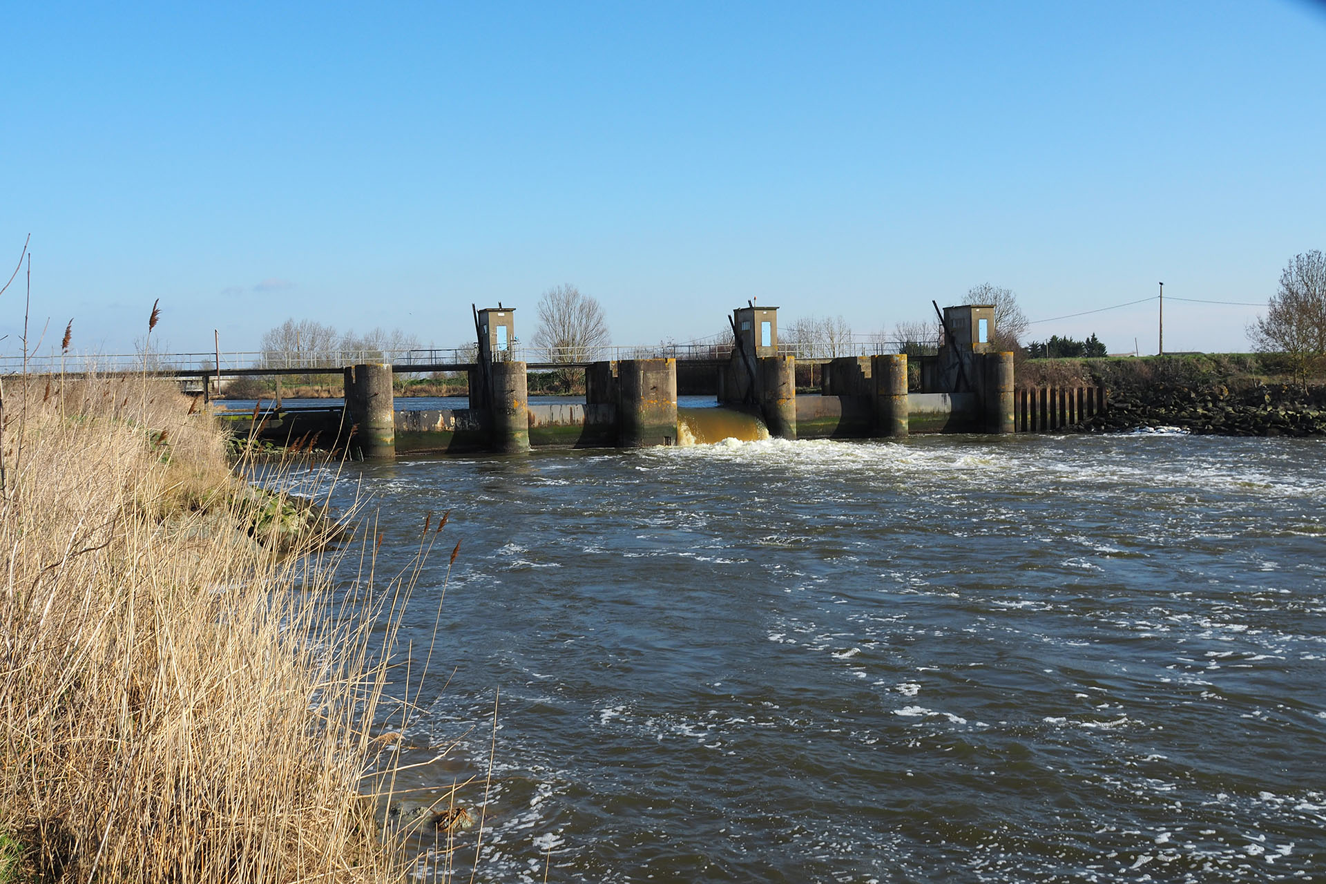
LET’S HEAD BACK UP THE RIVER LAY
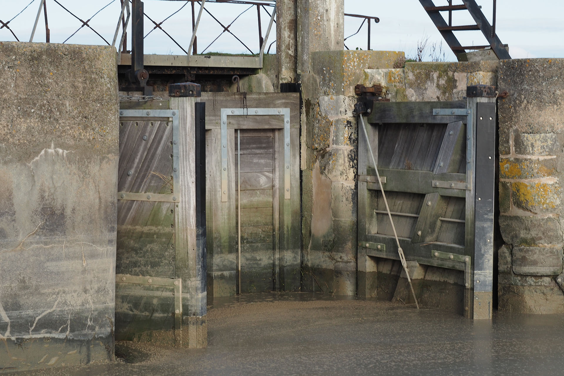
The Lay borders the Destination Sud Vendée Littoral and runs through many municipalities. Did you know that the maritime domain stops at the locks of Moricq? This means that from the Lay estuary to these locks, there is no need for a fishing license. If you look closer you can see, from the bank, a fish passage, which allows them to climb and descend the Lay, without being hindered by the locks.
Upstream, the Lay flows through the town of Lairoux, take time to stop off in winter when it is full, in spring at the opening of the meadows or in autumn when it’s invaded by cowboys. I like to stop at Port la Claye to admire the old stone bridge. In winter, its reflections on the water will leave you dreamy.
HYDRAULIC WORKS AS PLACES OF MEETING BETWEEN EARTH AND WATER
As you go inland, go up to view the Lay meeting with the Yon. From the top to the Booth Terrier, in winter the two streams mix to become one and spread over the surrounding land.
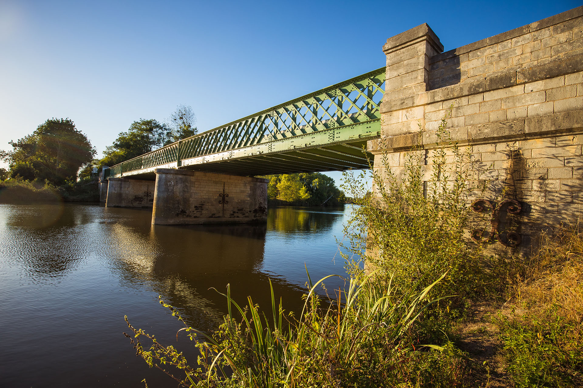
Before arriving in Mareuil-sur-Lay, take a few minutes in Lavaud, cross the river Lay using the Eiffel Bridge, built by the creator of the Eiffel Tower. If you own canoes or kayaks, you can put them in the water here. You can finish your walk along the Lay in Château-Guibert with the dam tower and the water reservoir.

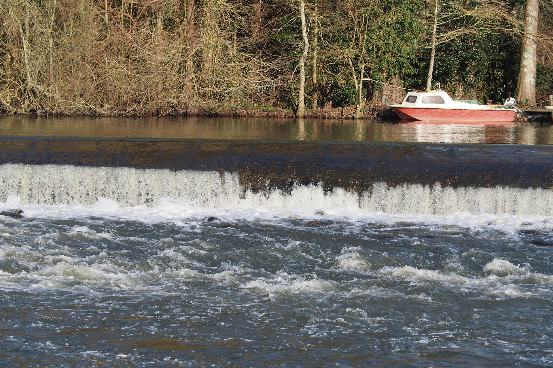
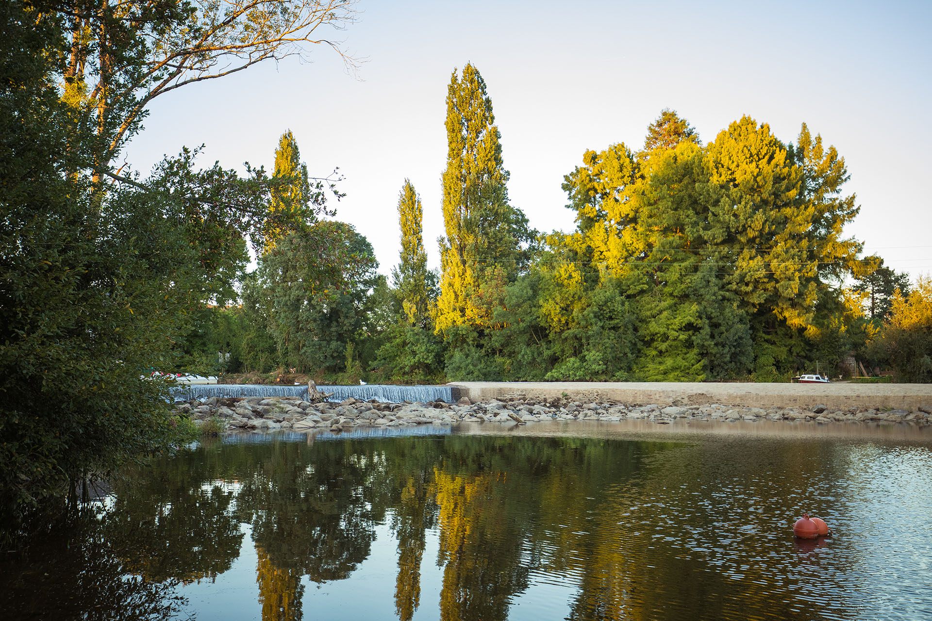
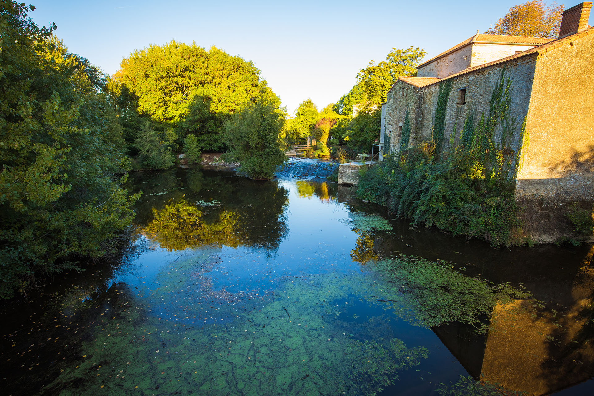
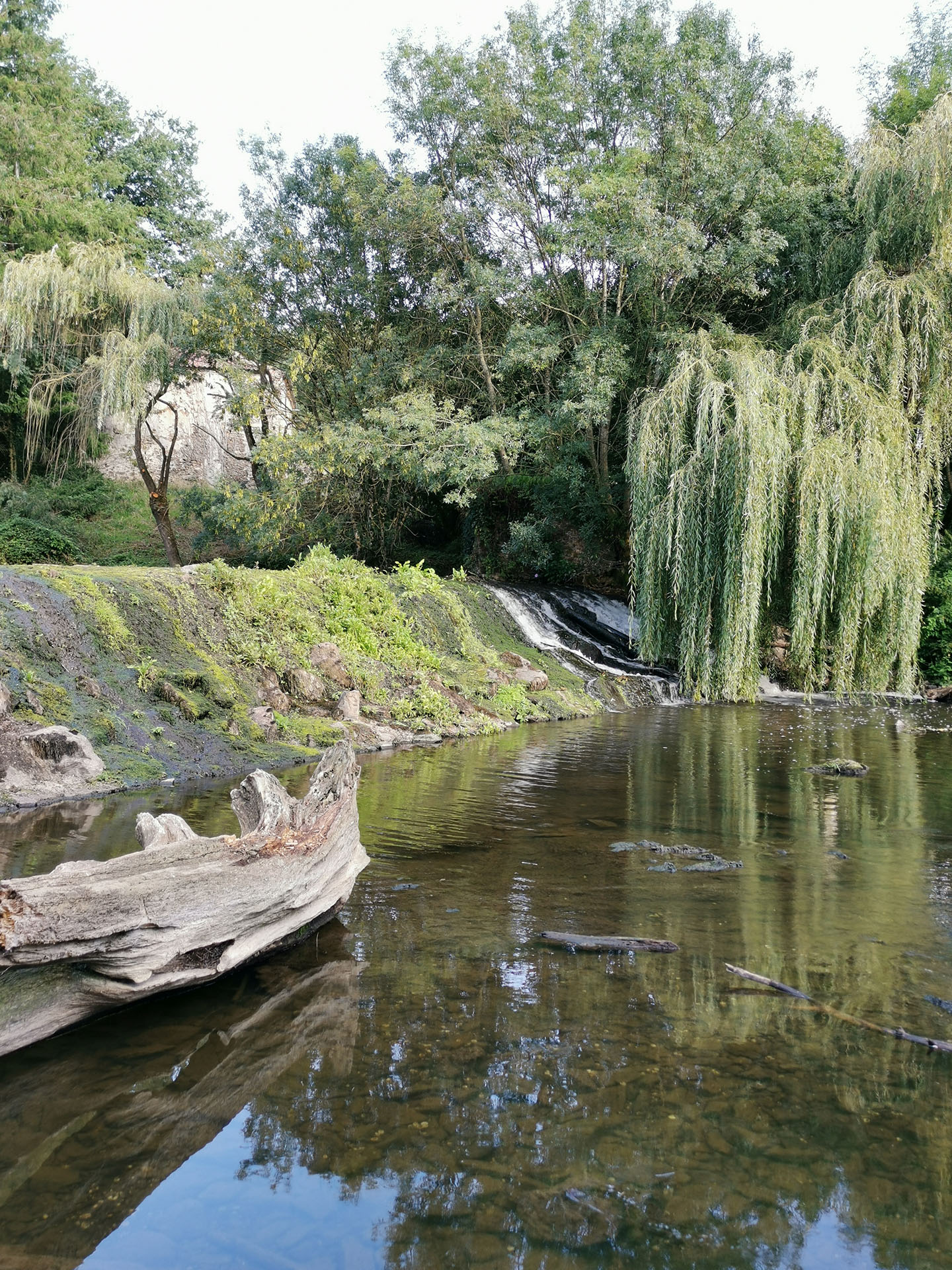
“CHAUSSEES” AND MILLS
It’s hard not to mention the “chaussées” and mills when we’re talking about hydraulic structures. Some “chaussées” are worth visiting, like Chavagnes in Rosnay, Mareuil-sur-Lay, Grand bateau à la Réorthe, Moutiers-sur-le-Lay in particular.
WHAT IS “CHAUSSEES”?
But do you know what a “chaussée” is and what it is used for? Generally speaking, a “chaussée” means the presence of mills downstream. “Chaussées” are water reservoirs which maintain the water level to supply the mill with water. Today, “chaussées” remain, but there are no longer any traces of the mills. In winter, they look like pretty waterfalls. Just sit back and let yourself be rocked by the roar of the water gushing out with force and power. In summer, the low water levels leave the rocks bare and we must then guess where the “chaussées” are. Along with some of the impoundments, fish passes were created so that they could go up current.
I hope I have managed to convince you of the rich hydraulic heritage of our Destination. Water is an essential element that has shaped our territory. I’ll let you discover many more…. Hope you enjoy your outings in the Sud Vendée Littoral!
Comments
No comments.