Distance: 33 km
Start: SAINT-MARTIN-LARS-EN-SAINTE-HERMINE
Buckle

Description
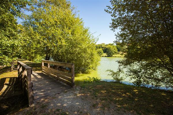
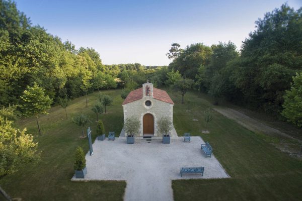
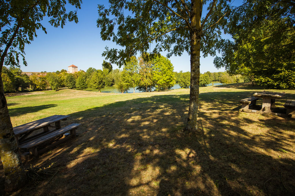
Starting from the lake at Saint-Martin-Lars-en-Sainte-Hermine, you can admire the magnificently restored church. Head on to La Jaudonnière to admire the scenery and exceptional heritage. The remains of the Pareds church will catch your eye: in fact, this church has been the subject of a youthful renovation project. You will then follow the Arkanson river towards La Caillère-Sainte-Hilaire to discover the Chapelle Jean-Paul II, dedicated to John Paul II and set in a magnificent green setting. Built in 2008 in a traditional style, the stained glass windows and furnishings are the work of Jacques Loire, Master Glassmaker in Chartres.